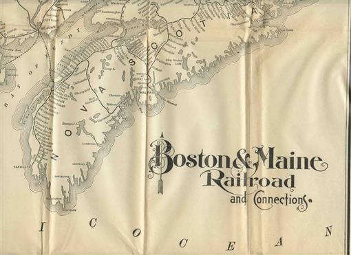
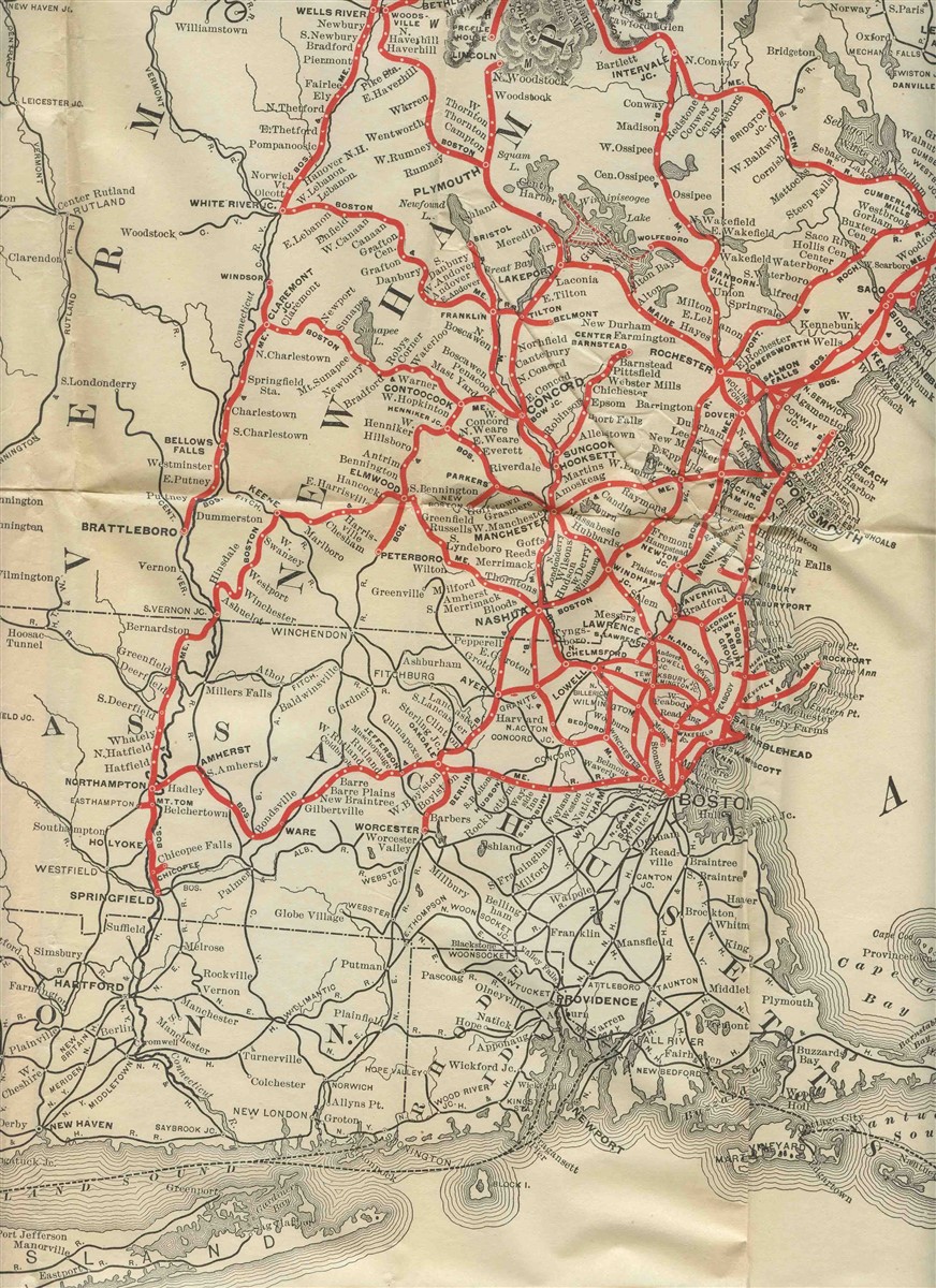
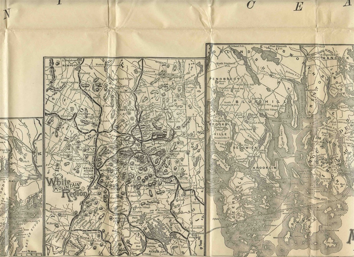
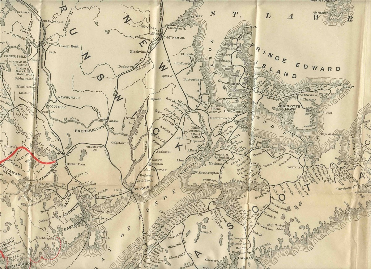
Boston & Maine Railroad Rand Avery Map 1880's Desert Islands St Andrews


An ORIGINAL Railroad Map. Opens to about 31" x 24" and is printed on only one side. May have been part of a larger Boston and Maine Railroad booklet. or it is missing the cover. Has a large Boston & Maine Railroad Railroad Route map and smaller maps of St Andrews and N.B. White Mountain Region and Mount Desert Islands and Vicinity. Maps by Rand Avery Supply Company, Engravers and Printers of Boston, This company went out of Business in 1886, making this map Pre- 1886
in good condition with a few creases and edge and fold tearsOur Policies:
For Multiple Purchases A single payment for all items would be appreciated.
We Ship World Wide Due to the Impact of USPS Policy Changes, Delivery time of some International Packages may be 8 to 18 weeks or more
International Buyers – Please Note:
Import duties, taxes, and charges are not included in the item price or shipping cost. These charges are the buyer's responsibility.
Please check with your country's customs office to determine what these additional costs will be prior to bidding or buying.
STATE Sales Tax Based on Applicable Tax Laws, will calculate and, collect Sales Tax for items shipped to customers in States requiring Sales Tax collection.
You may be interested in our other listings.
