Rendered at 11:27:42 05/24/25
Free Shipping
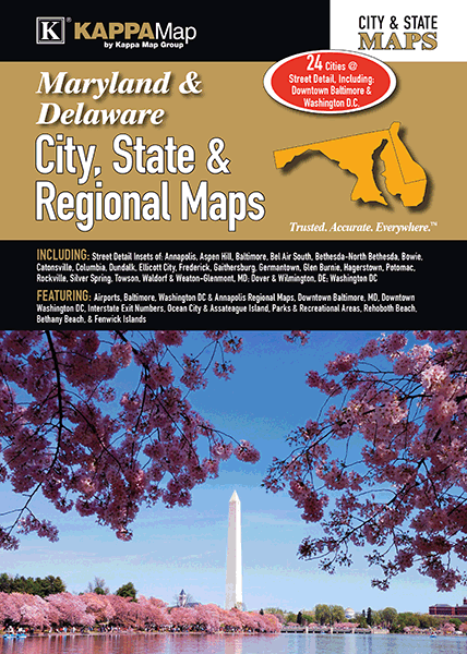
Maryland and Delaware City, State, & Regional Maps Street Atlas (K)

Shipping options
Seller handling time is 10 business days Details
FREE in United States
Return policy
Replacement product available within 30 days
Details
Purchase protection
Payment options
PayPal accepted
PayPal Credit accepted
Venmo accepted
PayPal, MasterCard, Visa, Discover, and American Express accepted
Maestro accepted
Amazon Pay accepted
Nuvei accepted
Listing details
| Seller policies: | |
|---|---|
| Posted for sale: |
More than a week ago |
| Item number: |
638344748 |
Item description
The Maryland Delaware City, State, Regional Maps is a full-color city-state street atlas, including the Maryland insets of: Annapolis, Aspen Hill, Baltimore, Bel Air South, Bethesda-North Bethesda, Bowie, Catonsville, Columbia, Dundalk, Ellicott City, Frederick, Gaithersburg, Germantown, Glen Burnie, Hagerstown, Potomac, Rockville, Silver Spring, Towson, Waldorf, Wheaton-Glenmont the Delaware insets of: Dover Wilmington; and features: Airports, Baltimore, Washington D.C. Annapolis Regional Maps, Downtown Baltimore, Downtown Washington D.C., Interstate Exit Numbers, Ocean City Assateague Island, Parks Recreational Areas, Places of Interest, Rehoboth Beach, Bethany Beach, Fenwick Island
Added to your wish list!

- Maryland and Delaware City, State, & Regional Maps Street Atlas (K)
- 3 in stock
- Handling time 10 days.
- Returns/refunds accepted
Get an item reminder
We'll email you a link to your item now and follow up with a single reminder (if you'd like one). That's it! No spam, no hassle.
Already have an account?
Log in and add this item to your wish list.