Quality items from Bonanza’s top-rated sellers.
Spending Cents --Smiles & Memories! earned a 100% satisfaction rating for providing an excellent experience from start to finish. View booth >>

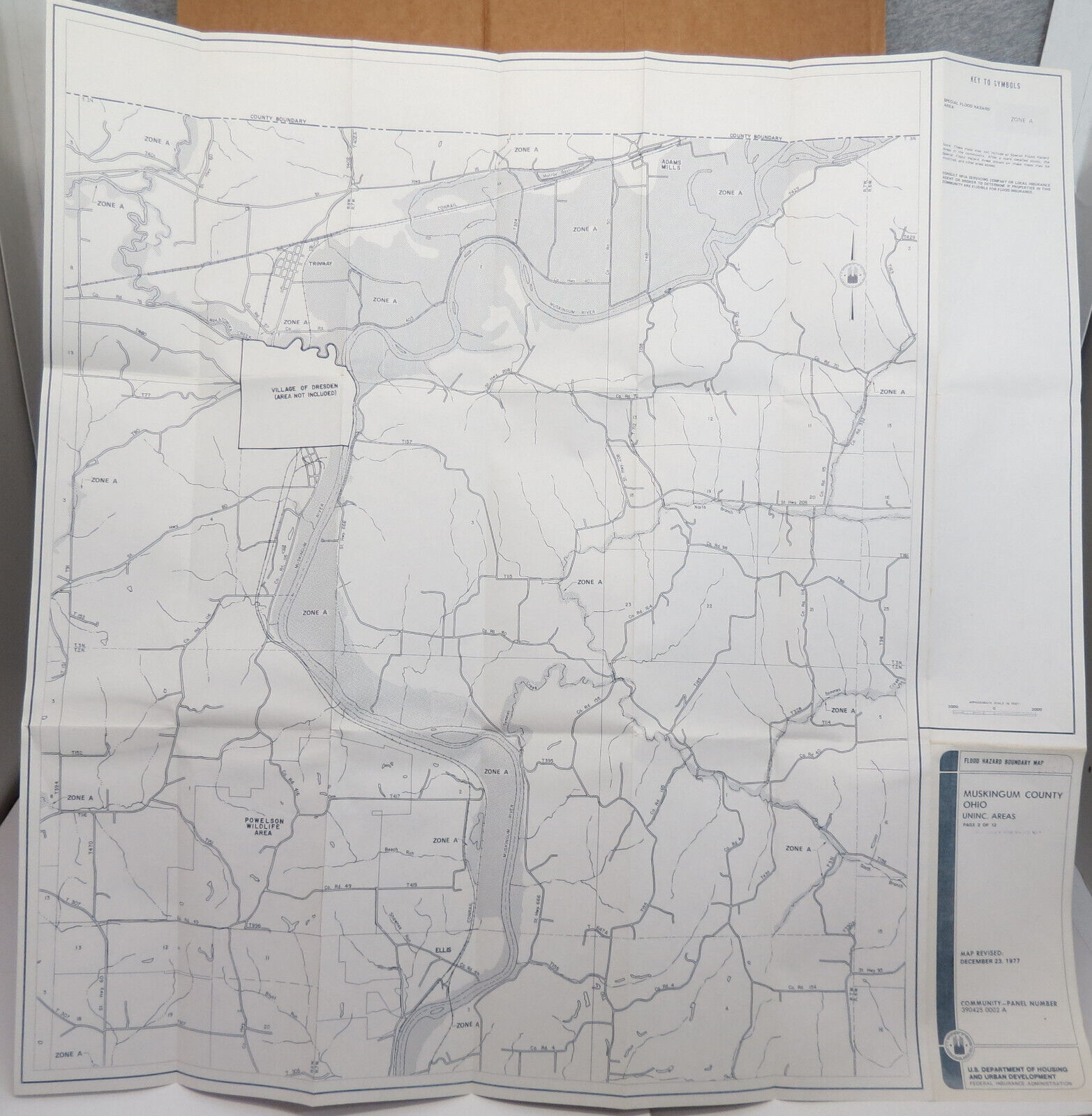


| Category: | |
|---|---|
| Quantity Available: |
Only one in stock, order soon |
| Condition: |
Used |
| Original/Reproduction: |
Vintage Original |
| Date Range: |
1970-1979 |
| Year: |
1977 |
| Country/Region: |
United States of America |
| US State: |
Ohio |
| Format: |
Sheet Map |
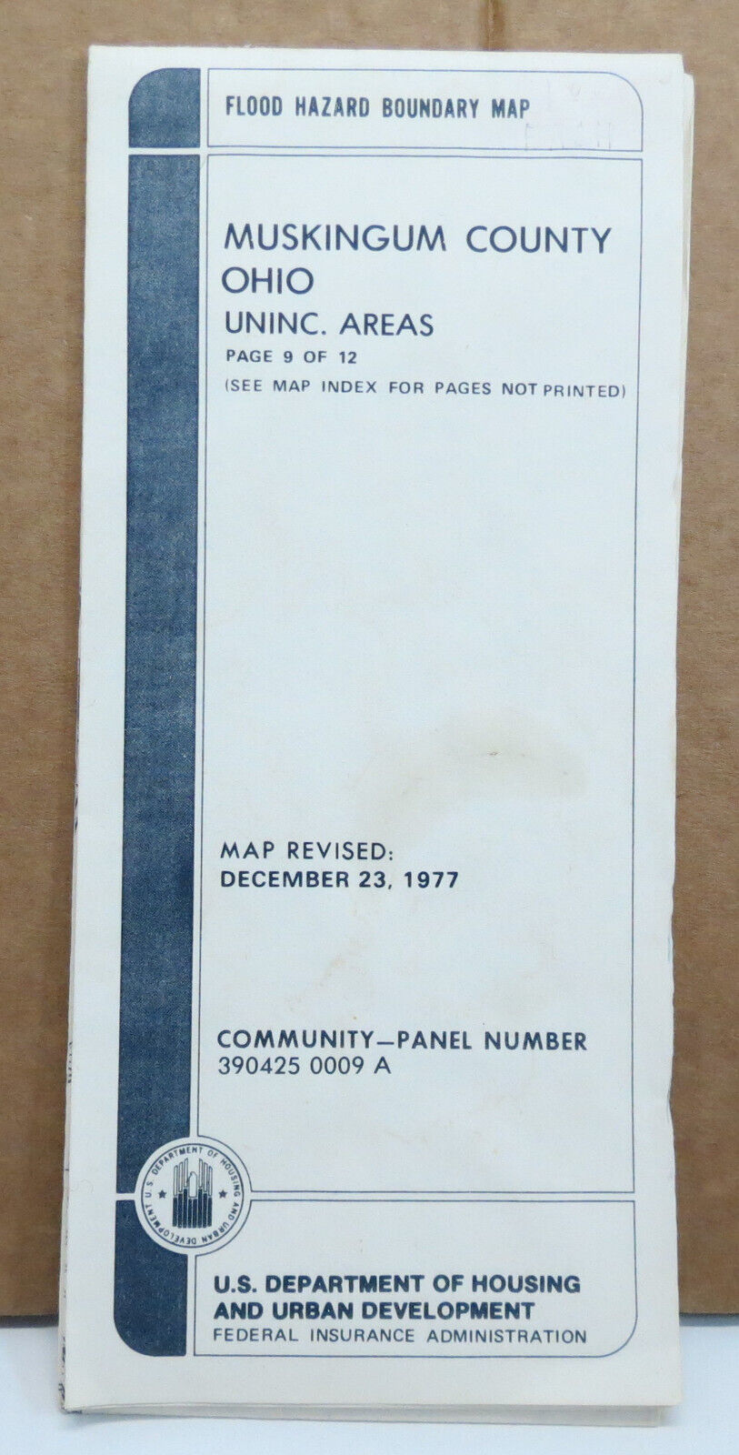
| Page Identifier: |
9 of 12 |
| Cartographer/Publisher: |
U.S. Department of Housing and Urban Development |
| City: |
Roseville |
| Administration Department: |
Federal Insurance Administration |
| Areas Covered: |
Unincorporated Areas |
| Sides Printed on: |
Front Side Only |
| Type: |
Flood Map |
| Community Panel Number: |
390423 009 A |
| Seller policies: | |
|---|---|
| Shipping discount: |
No combined shipping offered |
| Posted for sale: |
February 1 |
| Item number: |
1717380657 |

We'll email you a link to your item now and follow up with a single reminder (if you'd like one). That's it! No spam, no hassle.