HISTORIX Vintage 1920 Cairo Egypt Map Print and 50 similar items


Free Shipping
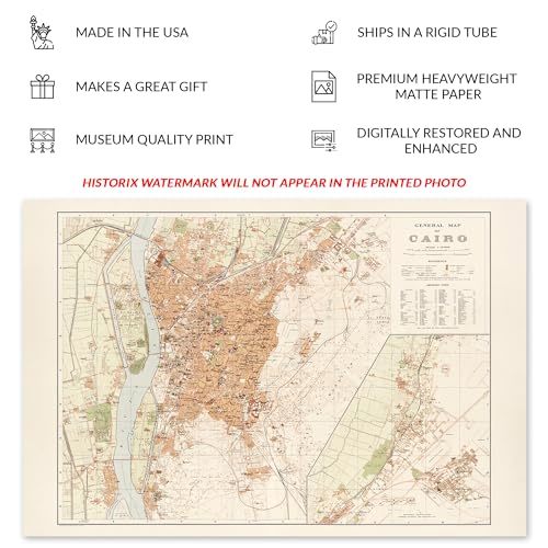
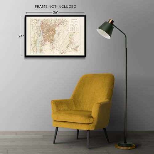
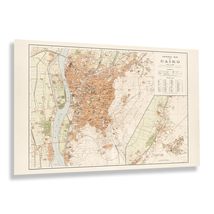
HISTORIX Vintage 1920 Cairo Egypt Map Print - 24x36 Inch Vintage Map of Egypt Po
$59.99
View full item details »

Shipping options
Seller handling time is 1 business day Details
FREE via to United States
Return policy
Full refund available for DOAs
Details
Purchase protection
Payment options
PayPal accepted
PayPal Credit accepted
Venmo accepted
PayPal, MasterCard, Visa, Discover, and American Express accepted
Maestro accepted
Amazon Pay accepted
Nuvei accepted
View full item details »
Shipping options
Seller handling time is 1 business day Details
FREE via to United States
Return policy
Full refund available for DOAs
Details
Purchase protection
Payment options
PayPal accepted
PayPal Credit accepted
Venmo accepted
PayPal, MasterCard, Visa, Discover, and American Express accepted
Maestro accepted
Amazon Pay accepted
Nuvei accepted
Item traits
| Category: | |
|---|---|
| Quantity Available: |
8 in stock |
| Condition: |
New |
| MPN: |
ENMAP06912436 |
| UPC: |
705514892096 |
| EAN: |
0705514892096 |
| color: |
Natural |
| binding: |
unbound |
| format: |
unbound |
| language: |
english |
| manufacturer: |
HISTORIX |
| Externally Assigned Product Identifier: |
0705514892096 |
| Bullet Point: | |
| Publication Date: |
1920T |
| Product Description: | |
| Brand: |
HISTORIX |
| Unspsc Code: |
55101500 |
| Paper Finish: |
matte |
| Map Scale: |
1000 |
| Item Name: | |
| Item Type Keyword: |
wall-maps |
| Product Site Launch Date: |
2024-02-19T07:34:38.863Z |
| Part Number: |
ENMAP06912436 |
Listing details
| Seller policies: | |
|---|---|
| Shipping discount: |
Seller pays shipping for this item. |
| Posted for sale: |
April 3 |
| Item number: |
1735828047 |
Item description
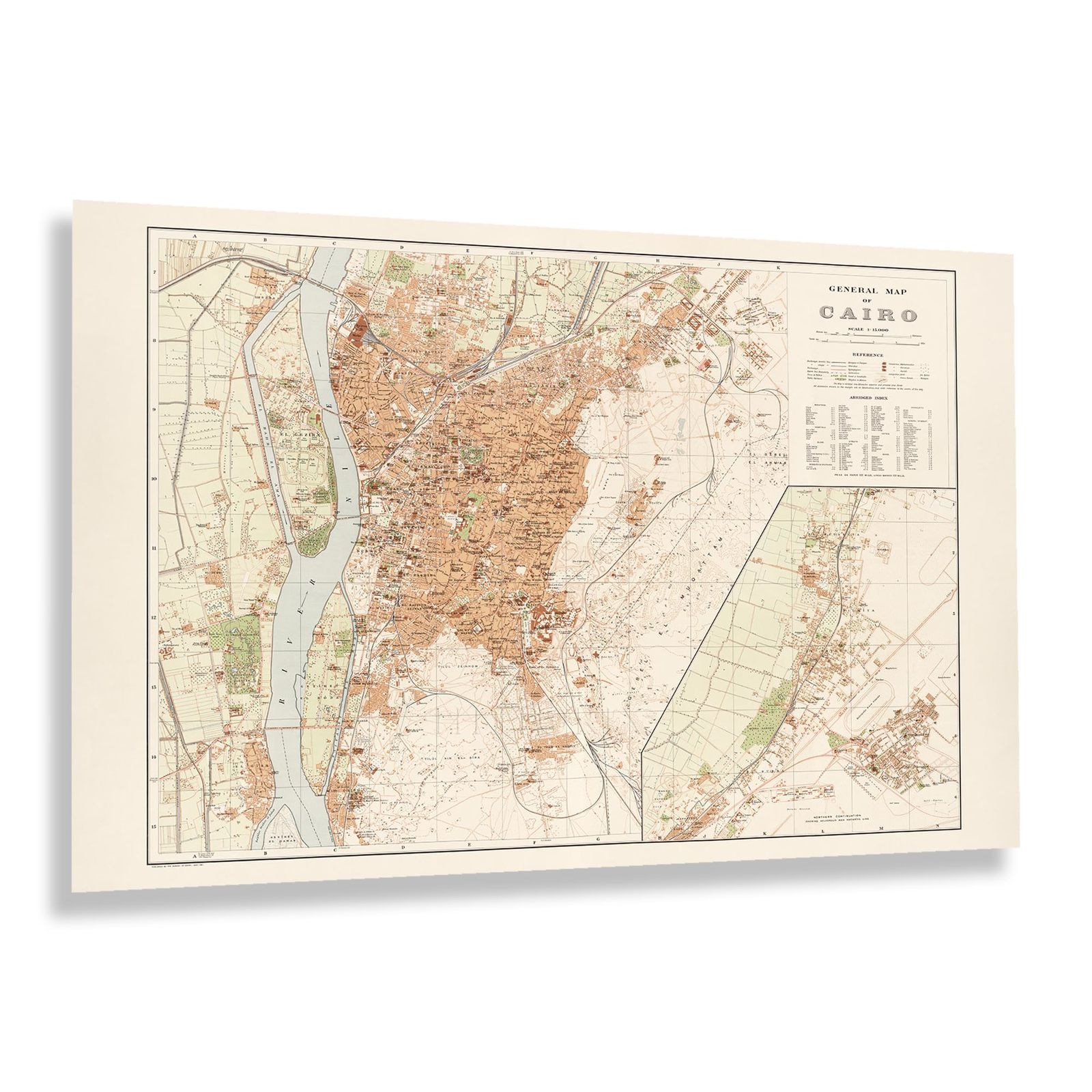
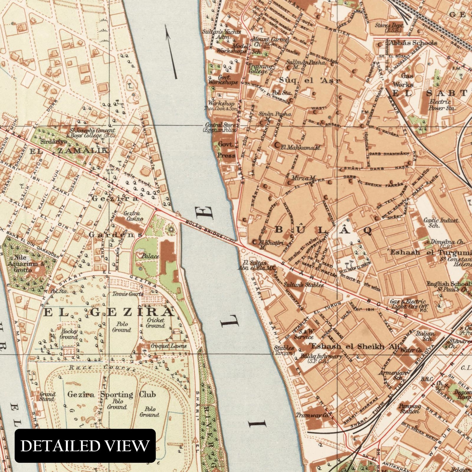
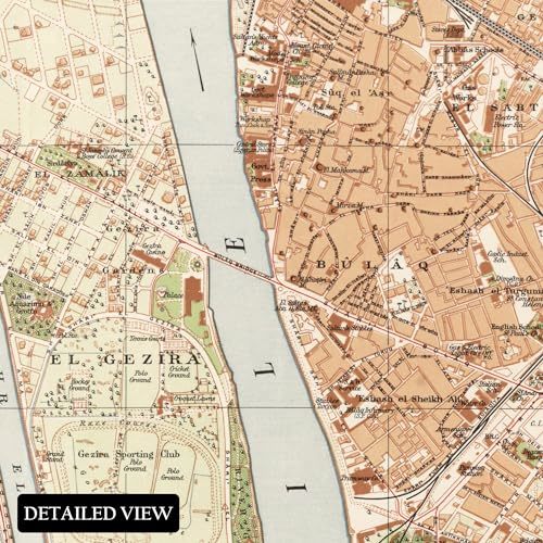
Home to more than ten million people, Cairo is the Capital of Egypt and one of the oldest and most historical cities in the world. It remains an important cultural anchor for the region, attracting hundreds of thousands of tourists annually to visit antiquities like the Great Pyramids, Sphinx, and other ancient sites. Its proximity to the Nile Delta made it a prime area for settlement. It has long been a hub for cultural and political discourse, thought, and development.
This map was produced while Cairo was still under British rule, though it would go on to gain independence in 1922. However, British troops would maintain a presence in Egypt until 1956. From the latter portions of the nineteenth century into the early parts of the twentieth century, Cairo's population more than tripled, with growth spurred on by the construction of bridges and other transportation links that expanded access for residents across the city. Cairo's location on the Nile River has long contributed to the city's economy as ports across the Middle East became essential to international shipping operations.
This map bears a distinctive style that is immediately recognizable and bears a classic stature that transports the viewer back in time, creating an indelible bond between the past and present. Cairo's rich history, which dates back to ancient Egypt, illustrates the evolution and development of the region over hundreds of years.
Additional Details
------------------------------
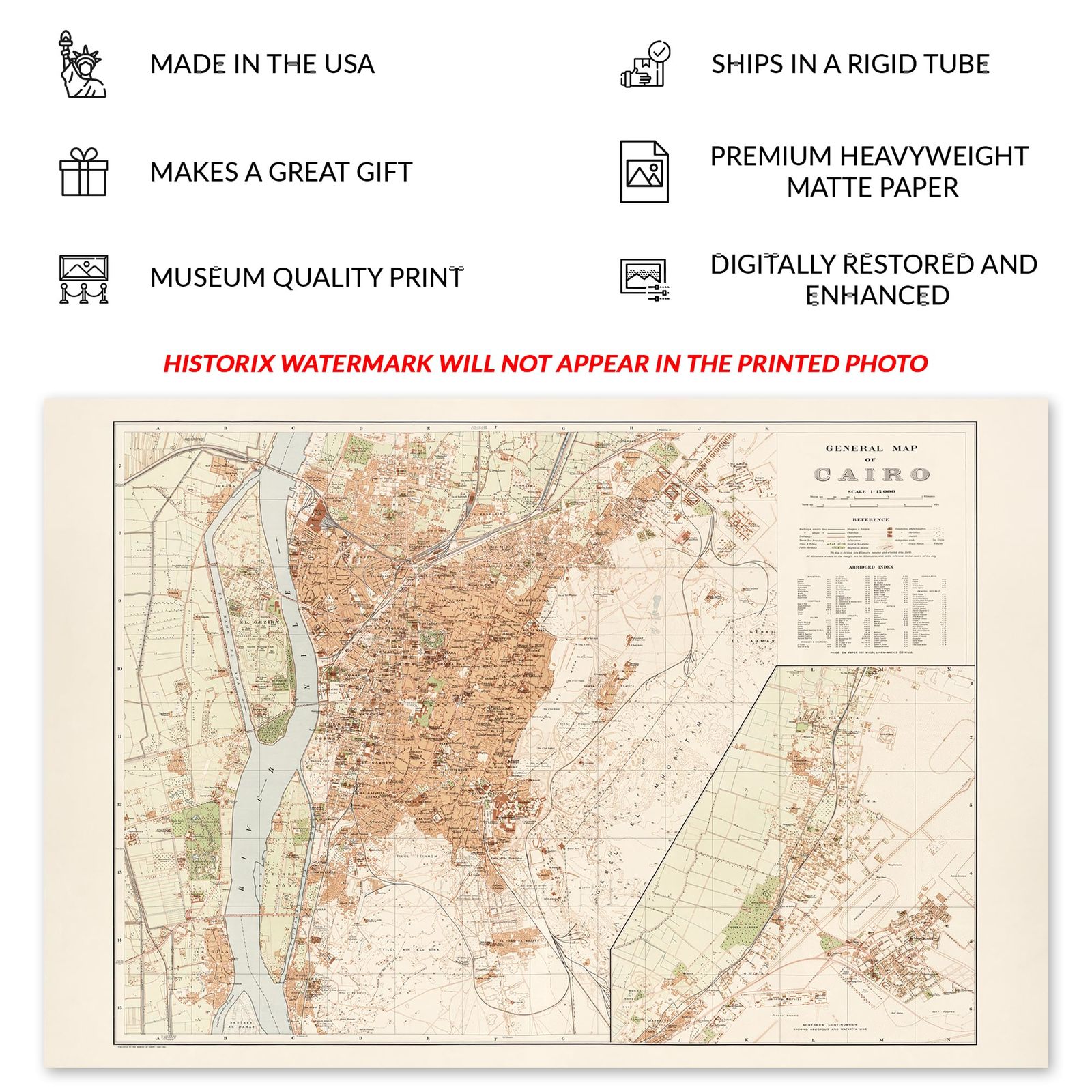
Bullet point: VINTAGE MAP REPRODUCTION: You?ll love this high quality historic reproduction of 1920 Cairo Egypt Map Print. Our museum quality prints are archival grade, which means it will look great and last without fading for over 100 years. Our print to order maps are made in the USA and each map is inspected for quality. This beautiful artwork is a perfect addition to your themed decor. Vintage maps look great in the home, study or office. They make a perfect gift as well.
Product description:
Home to more than ten million people, Cairo is the Capital of Egypt and one of the oldest and most historical cities in the world. It remains an important cultural anchor for the region, attracting hundreds of thousands of tourists annually to visit antiquities like the Great Pyramids, Sphinx, and other ancient sites. Its proximity to the Nile Delta made it a prime area for settlement. It has long been a hub for cultural and political discourse, thought, and development.
This map was produced while Cairo was still under British rule, though it would go on to gain independence in 1922. However, British troops would maintain a presence in Egypt until 1956. From the latter portions of the nineteenth century into the early parts of the twentieth century, Cairo's population more than tripled, with growth spurred on by the construction of bridges and other transportation links that expanded access for residents across the city. Cairo's location on the Nile River has long contributed to the city's economy as ports across the Middle East became essential to international shipping operations.
This map bears a distinctive style that is immediately recognizable and bears a classic stature that transports the viewer back in time, creating an indelible bond between the past and present. Cairo's rich history, which dates back to ancient Egypt, illustrates the evolution and development of the region over hundreds of years.
Format: wall_map
|
Why are we showing these items?
Booth
Historic Prints |

|


-
Refine your browsing experience
We can show you more items that are exactly like the original item, or we can show you items that are similar in spirit. By default we show you a mix.


This item has been added to your cart
 HISTORIX Vintage 1920 Cairo Egypt Map Print - 24x36 Inch Vintage Map of Egypt Po added to cart.
8 available in stock
HISTORIX Vintage 1920 Cairo Egypt Map Print - 24x36 Inch Vintage Map of Egypt Po added to cart.
8 available in stock
View Cart or continue shopping.
 Please wait while we finish adding this item to your cart.
Get an item reminder
We'll email you a link to your item now and follow up with a single reminder (if you'd like one). That's it! No spam, no hassle.
Already have an account?
Log in and add this item to your wish list.