1892 North Dakota Map - Framed Vintage State and 50 similar items


Free Shipping
1892 North Dakota Map - Framed Vintage State of North Dakota Wall Art Poster
$275.99 - $382.99
View full item details »

Shipping options
Estimated to arrive by Tue, Apr 22nd.
Details
FREE via UPS Ground (1 to 5 business days) to United States
Return policy
Full refund available for DOAs
Details
Purchase protection
Payment options
PayPal accepted
PayPal Credit accepted
Venmo accepted
PayPal, MasterCard, Visa, Discover, and American Express accepted
Maestro accepted
Amazon Pay accepted
Nuvei accepted
View full item details »
Shipping options
Estimated to arrive by Tue, Apr 22nd.
Details
FREE via UPS Ground (1 to 5 business days) to United States
Return policy
Full refund available for DOAs
Details
Purchase protection
Payment options
PayPal accepted
PayPal Credit accepted
Venmo accepted
PayPal, MasterCard, Visa, Discover, and American Express accepted
Maestro accepted
Amazon Pay accepted
Nuvei accepted
Item traits
| Category: | |
|---|---|
| Quantity Available: |
16 in stock |
| Condition: |
New |
| Subject: |
Maps |
| Style: |
Vintage |
| Type: |
Wall Art |
| Features: |
Museum Quality |
| Theme: |
History |
| Artist: |
Various |
| Region of Origin: |
Made in the USA |
| Framing: |
Framed |
| Brand: |
HISTORIX |
| Sizes: | |
| Colors: |
Listing details
| Seller policies: | |
|---|---|
| Shipping discount: |
Seller pays shipping for this item. |
| Posted for sale: |
April 13 |
| Item number: |
1738801422 |
Item description
Feature Points
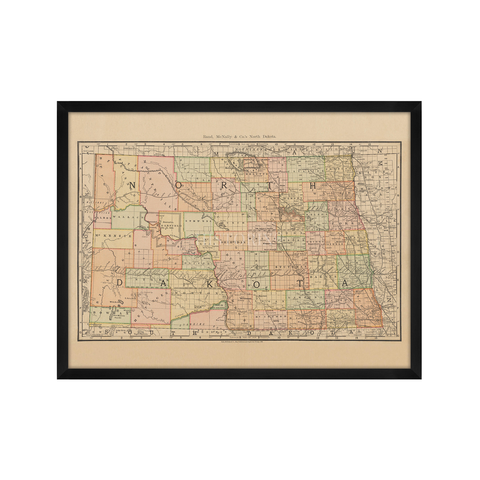
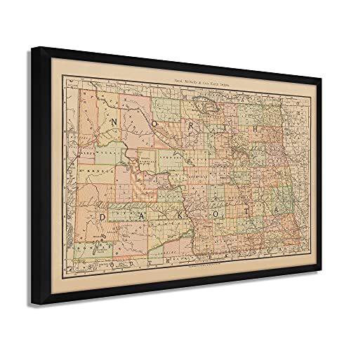
VINTAGE MAP FRAMED: You?ll love this high-quality framed historic reproduction of 1892 North Dakota Map Poster. Our ready-to-hang maps are printed and framed in the USA by professional art framers using the highest quality materials. Each order is inspected for quality. This beautiful artwork is a perfect addition to your themed decor. Vintage maps look great in the home, study or office. They also make an unforgettable gift.
A LOOK BACK AT HISTORY: This is an impressive, historic reproduction of 1892 Map of North Dakota Art Print. A true piece of history. Historic prints beautifully link the past with the present. You may find yourself staring at your historic wall art for hours in amazement. See our product description section for more fascinating information about this historic map and its significance.
PREMIUM QUALITY: To display this amazing piece of history, we use museum-quality heavyweight (230gsm), fine art print matte paper. Our paper is acid-free which allows the print to retain its color quality for generations. Our paper displays vintage map art with accurate color reproduction. This high quality print will be a wonderful addition to your vintage-themed wall.
READY TO HANG: This high-quality frame displays art beautifully in almost any environment. The frame is made out of poplar wood (for black and white) and pine wood (for walnut and natural) with a matte finish. The frame profile is 1.5 inches high and 0.75 (for size 18x24) and 1.125 (for size 24x36) inches wide. To protect artwork, we use high-quality, lightweight, shatter-resistant frame-grade acrylic. Frames arrive ready-to-hang, preinstalled with hanging hardware.
HISTORIC PRINTS: We love history and art. Sometimes old maps have tears, folds, stamps, separations and other blemishes. We digitally restore and enhance maps while keeping its historical character. Our framed prints are made-to-order in the USA by professional art framers. Customers all over the world love our historic prints and we know you will too.
Additional Information
Published three years after the territory achieved statehood, this unique depiction of North Dakota shows the state in a period of significant transition and growth. The success of the Northern Pacific and Great Northern Railroads had expanded access to North Dakota, and European immigrants were flocking to the region to establish farms, dairies, and cattle ranches. German immigrants comprised the majority during this period as they fled civil unrest in their home country, with a large portion of Scandinavian immigrants also establishing homesteads in the region. As rail lines increased, access towns and cities were established as the region became an essential agricultural driver for the burgeoning nation.
This work is a distinctive representation of iconic American mapmaker Rand McNally's signature style. The late nineteenth century saw Northeastern Americans coming to the region's cities to establish thriving retail businesses as farmers' needs expanded. The importance of railroad expansion throughout the region cannot be understated and was the driving force behind the state's economy, which exported numerous agricultural commodities that were fueling The United States' growth. Much of this growth was spurred by efforts from the Great Northern Railroad, which purchased Government lands and advertised them to eager farmers in the East and Europe as well.
North Dakota's natural resources have always driven the state economy, and the expansion of railroads allowed farmers to export their crops throughout the nation. Rand McNally became synonymous with maps through the twentieth century, and this early piece of theirs is truly a piece of cartographical history.
Our ready-to-hang wall art are printed and framed in the USA using the highest quality materials with professional craftsmanship. Historic prints look great in the home, study or office. They also make an unforgettable gift.


-
Refine your browsing experience
We can show you more items that are exactly like the original item, or we can show you items that are similar in spirit. By default we show you a mix.


 - $253.99+")


This item has been added to your cart
 1892 North Dakota Map - Framed Vintage State of North Dakota Wall Art Poster added to cart.
16 available in stock
1892 North Dakota Map - Framed Vintage State of North Dakota Wall Art Poster added to cart.
16 available in stock
View Cart or continue shopping.
 Please wait while we finish adding this item to your cart.
Get an item reminder
We'll email you a link to your item now and follow up with a single reminder (if you'd like one). That's it! No spam, no hassle.
Already have an account?
Log in and add this item to your wish list.